

ITINERARIES-III
|
|
|||||
Destinations
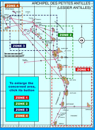
Map of Lesser Antilles
Everything about archipelago
Sailing in the Lesser Antilles
(Maps with routes and wp)
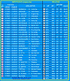
Services directory
(Blue pages)
Order the guide
Mail
Last informations
Warning